GEORGIA COUNTY INTERNSHIP SPOTLIGHT
Print this Article | Send to Colleague
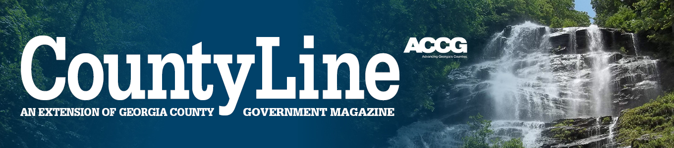
Zane Ziegler Interns with Bartow County
During the summer of 2022, Zane Ziegler interned with Bartow County. A Georgia State University (GSU) student and geosciences major, Ziegler worked in the information services department as a Geographic Information Services (GIS) Analyst. Throughout the summer internship, Ziegler was responsible for creating, editing, and maintaining the GIS data within the department.
 |
Ziegler was "not very familiar" with county government operations before his internship with the county. Through direction from Bartow's GIS Supervisor and other information services staff, Ziegler learned about the day-to-day operations of county government and different departments. He also gained knowledge of how GIS supports county departments and their unique functions.
One of Ziegler’s major internship responsibilities was the creation of an interactive map of all cemeteries in Bartow County. Ziegler was tasked to identify cemeteries, research the parcels to create accurate labels, and create a layer in the GIS map to show their locations. Through his work, Ziegler identified about 20 cemeteries that were not previously in Bartow’s datasets. The result of his work, the GIS map, is now available for public use. Individuals can filter through abandoned or not abandoned cemeteries, as well as see exact locations and details about their upkeep and owners. Reflecting on the internship, Ziegler said that creating the interactive public map was one of his most meaningful successes.
After successfully completing the cemetery GIS map, Ziegler moved on to a new project: updating county road network data to meet Next Generation 911 (NG911) standards. NG911 is a digital system intended to replace the existing analog 911 infrastructure to create a faster, more efficient 911 network. The transition to NG911 requires more robust and accurate mapping of roadways, which Ziegler addressed during his internship. He hand-corrected digital road maps, making sure details of intersections and right-of-ways were correct.
 |
Ziegler couldn't pick only one favorite part of the internship – he said that creating the interactive cemetery map and "understanding and learning about the ways GIS is implemented within an organization as opposed to a classroom" were both favorite parts of his experience. Throughout the internship, Ziegler developed several technical skills, increasing his familiarity with file structures, databases, and datasets used for GIS in a local government context. "I learned about the roles and responsibilities of a local government GIS professional, and these experiences will be useful in the future," Ziegler noted.
Ziegler graduated from GSU in December 2022 with a BS in Geosciences. Though he is still determining his post-graduation plan, he said he will consider a career in county government in the future.
View Ziegler’s GIS cemetery map here. To learn more about the GCIP, please visit our website at https://www.accg.org/caf_index.php.
![]()
![]()
![]()